INTRODUCTION
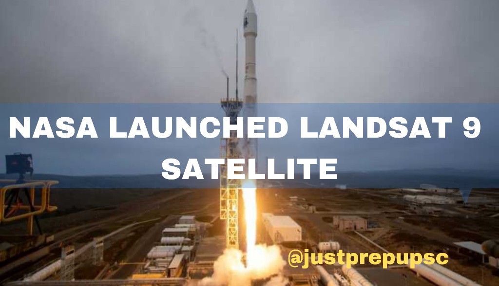
- On September 27, 2021, at 2.12 p.m. EDT, NASA successfully launched Landsat 9 on a United Launch Alliance Atlas V rocket from Vandenberg Space Force Base in California. About 83 minutes after the launch, Norway’s Svalbard satellite-monitoring ground station received signals from Landsat 9. It is a sophisticated satellite that will monitor the Earth’s land surface and aid in climate change research.
- Also, it is the ninth Earth observation satellite in the Landsat series, which is a collaboration between NASA and the United States Geological Survey (USGS) and is in its last orbit above Earth’s poles, at a height of around 438 miles (705 kilometres). It is designed by the Northrop Grumman.
WHAT IS LANDSAT 9 AND ITS WORKING –
- Landsat 9 will follow in the footsteps of Landsat 8, which launched in 2013. The Thermal Infrared Sensor 2 (TIRS–2) and the Operational Land Imager 2 (OLI–2) on Landsat 9 will measure 11 wavelengths of light reflected or radiated off Earth’s surface in the visible spectrum as well as wavelengths beyond what the naked eye can perceive.
- The satellite contains two scientific instruments with modest spatial resolution sensors, namely 15m, 30m, and 100m. Landsat 9 can detect a wider range of illumination levels than Landsat 8.
- It will photograph the Earth every 16 days, with an 8-day delay compared to Landsat 8. According to the USGS, Landsat 9 will gather up to 750 new scenes per day, and the two satellites together will provide over 1,500 new scenes per day to the USGS Landsat archive. Each photograph will cover 115 miles (185 kilometres) of Earth’s land surface.
FUNCTIONS OF LANDSAT 9 –
- It will show how the Earth’s surface and life have been changed by climate change over the last five decades.
- It will provide an unbiased and objective database of Earth’s forests for governments and groups to investigate environmental protection and carbon storage claims.
- It will help researchers better understand the effects of urbanisation on the environment.
- It will help with water management in many parts of the United States.
- Degradation of coral reefs: It will allow for worldwide reef monitoring.
- It will continue to track the loss of glaciers and ice shelves on Earth.
- The International Disaster Charter has utilised data from the Landsat series to map the effects of natural and man-made disasters.


